
Spatial Actuarial Intelligence
Spatial Actuarial
Technologies
Risk Intelligence for Modern Enterprise.Welcome to Riskscape, where the future of intelligent decision-making is a reality today. Our blend of advanced geospatial technologies and machine learning algorithms enables us to deliver comprehensive risk data, analysis, custom solutions and revolutionary approaches to managing complex landscapes of risk.
Spatial Intelligence,
Every Layer.



From Satellite
to Decision.
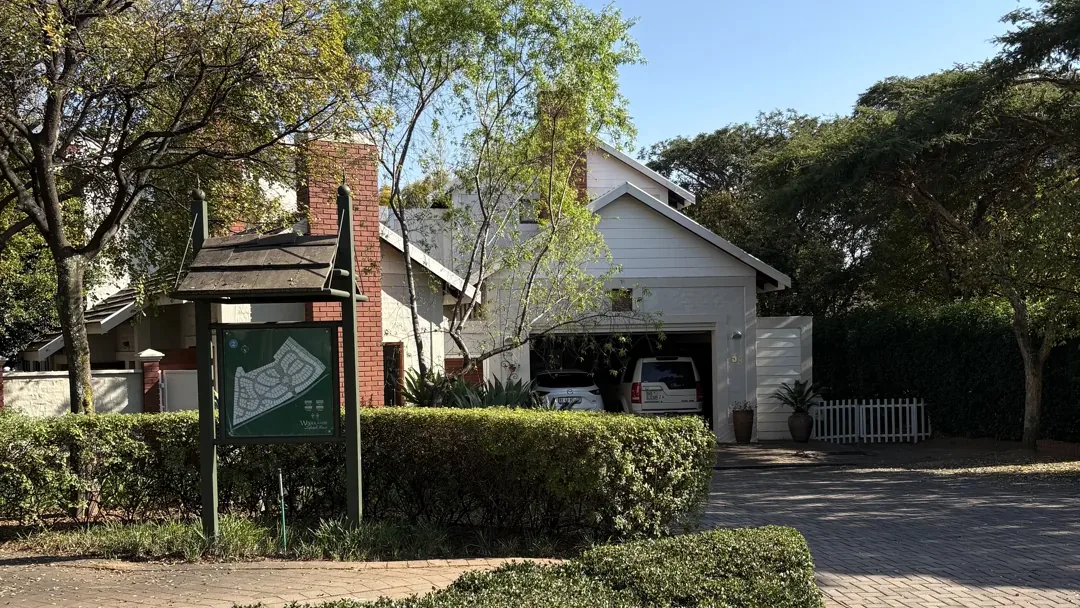
Scroll through our data journey - from national-scale elevation coverage to property-level intelligence.
Sub-2-Metre
Precision. Nationwide.
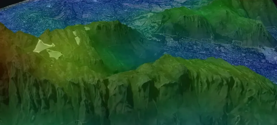
A homogeneous 2-metre DTM covering 1.2 million km² - South Africa's first continuous, bare-earth elevation dataset, captured via Leica DMC III aerial cameras with GeoSpace International.
Flood Intelligence
at Property Level.
1-in-100-year rainfall events simulated across every property. Flow direction, drainage networks, maximum flood depth and risk zone classification - all derived directly from 2m DTM data.
Household Finance
at Subplace Level.
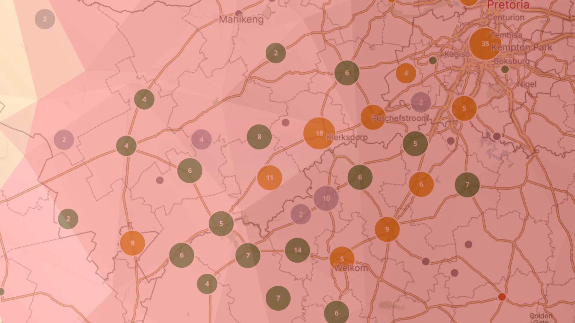
The Household Financial Index evaluates income potential using property valuations, size, owner demographics and transaction history - delivered at subplace resolution across the country.
All Risk Layers.
One Platform.
Flood, fire, earthquake, temperature extremes, financial stress and property data - unified into a single API. Six product suites, one integration, a complete South African risk picture.
Built for the Sectors
That Move Capital.
From Data to Decision
in Three Steps.
Access
Connect via REST APIs or data delivery pipelines - built for production workloads in any technology stack.
Integrate
Embed interactive maps, risk scores and property data directly into your applications and decisioning workflows.
Decide
Act on high-resolution, locally calibrated intelligence - from underwriting to portfolio-level risk monitoring.
Ready to transform
your risk intelligence?
Book a consultation with our team and discover how Riskscape data can power your next decision.