Address Search & Map Plugins
Address Search &
Dynamic Mapping
Dynamic maps, intelligent address autocomplete and meter-level reverse geocoding built specifically for South Africa — handling office parks, gated estates and informal settlements with simple integration across any web project.
Mapping & Geocoding Capabilities
Four integrated tools for embedding location intelligence into any web or mobile application.
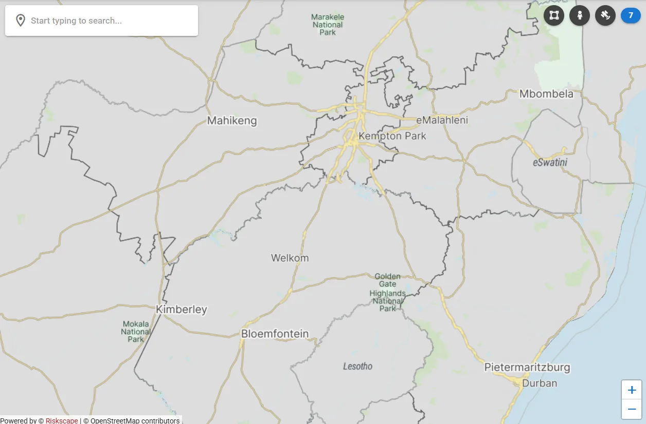
Dynamic Maps
Responsive, embeddable map components with custom markers, data layers and advanced controls — optimised for South African data and spatial context.
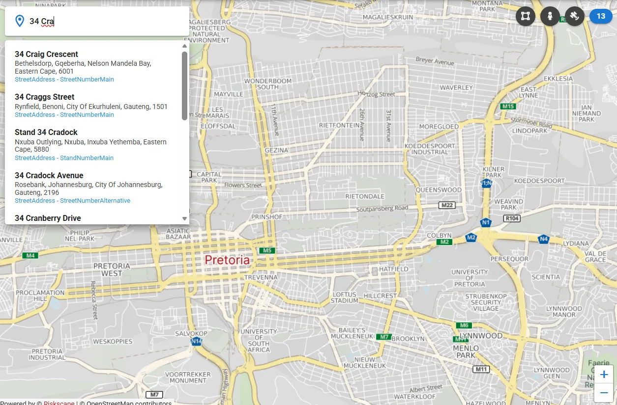
Address Autocomplete
Intelligent address suggestion engine trained on South African addressing data — handling informal settlements, farm addresses and complex suburban layouts.
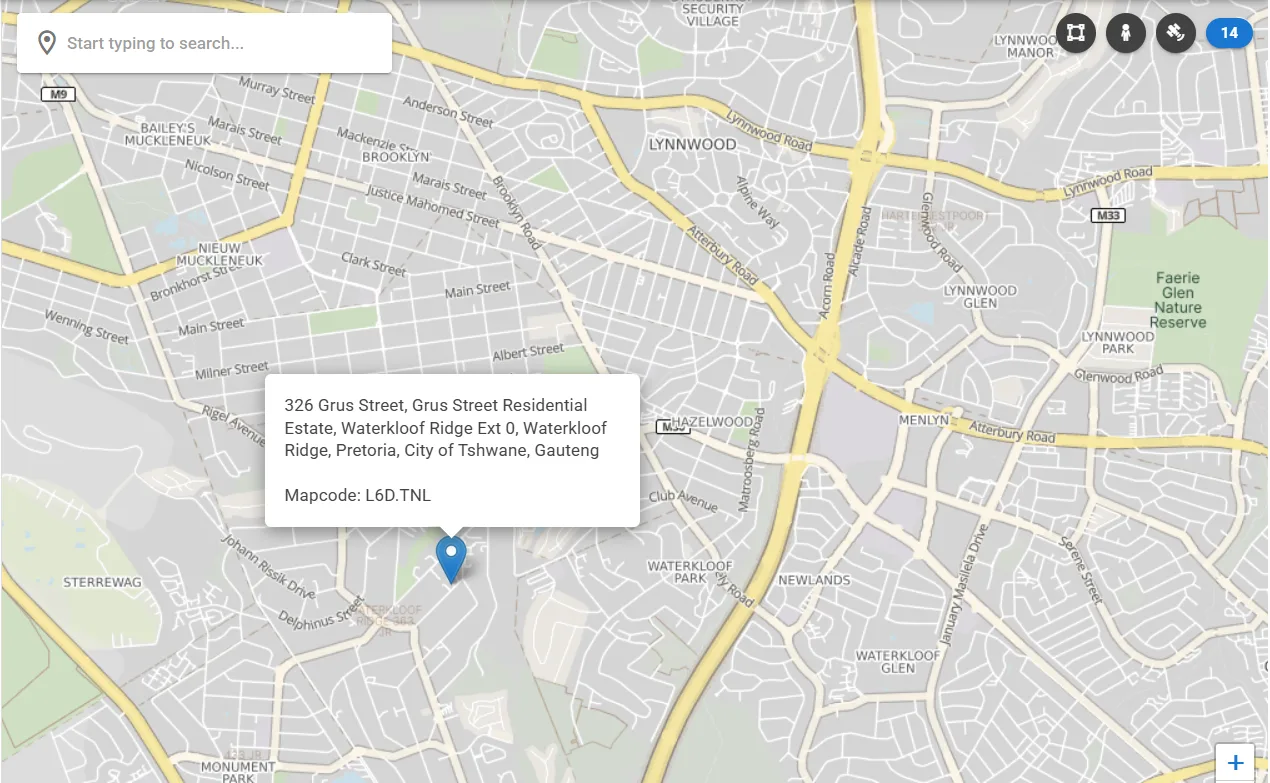
Reverse Geocoding
Meter-level reverse geocoding purpose-built for South Africa's complex addressing environment — accurately resolving coordinates within office parks, gated estates and mixed-use developments.
Property Identification
Click anywhere on the map to identify the underlying property — returning parcel boundaries, stand number, deeds reference and linked data from the Riskscape property database.
Product Videos
Watch our mapping and geocoding tools working across South Africa's diverse addressing environments.
Map Plugins — Product Overview
Scroll to play
Reverse Geocoder — Live Demo
Scroll to play
Reverse Geocoder — Situational Use Case
Scroll to play
Reverse Geocoder — Rural Use Case
Scroll to play
Built for South Africa's Addressing Complexity
South Africa's addressing landscape is uniquely complex. From formal suburban streets to large commercial office parks with internal road networks, gated residential estates with security checkpoints, and informal settlements with no formal addresses — generic global geocoding tools fall short.
Riskscape's address search and mapping tools are trained on South African-specific data, handling the edge cases that frustrate global providers: multiple units within a complex, farm portions, smallholdings, sectional title schemes, and un-addressed properties in rural and peri-urban areas.
The result is meter-level accuracy even in the environments where it matters most — enabling insurance, banking and property applications to function reliably across all South African contexts.
Simple Integration
REST API endpoints and JavaScript components ready for integration into any web project. Works with React, Vue, Angular or vanilla JavaScript. No complex dependencies — a single API key and a few lines of code.
Get API Key
Register and receive your API credentials for authentication.
Integrate
Drop in our JavaScript component or call the REST API directly.
Go Live
Deploy with South Africa-specific geocoding accuracy in minutes.
Add South African address intelligence to your application
Contact our team for API documentation, pricing and integration support.