
Climate Risk
Property-Level
Climate Risk Analysis
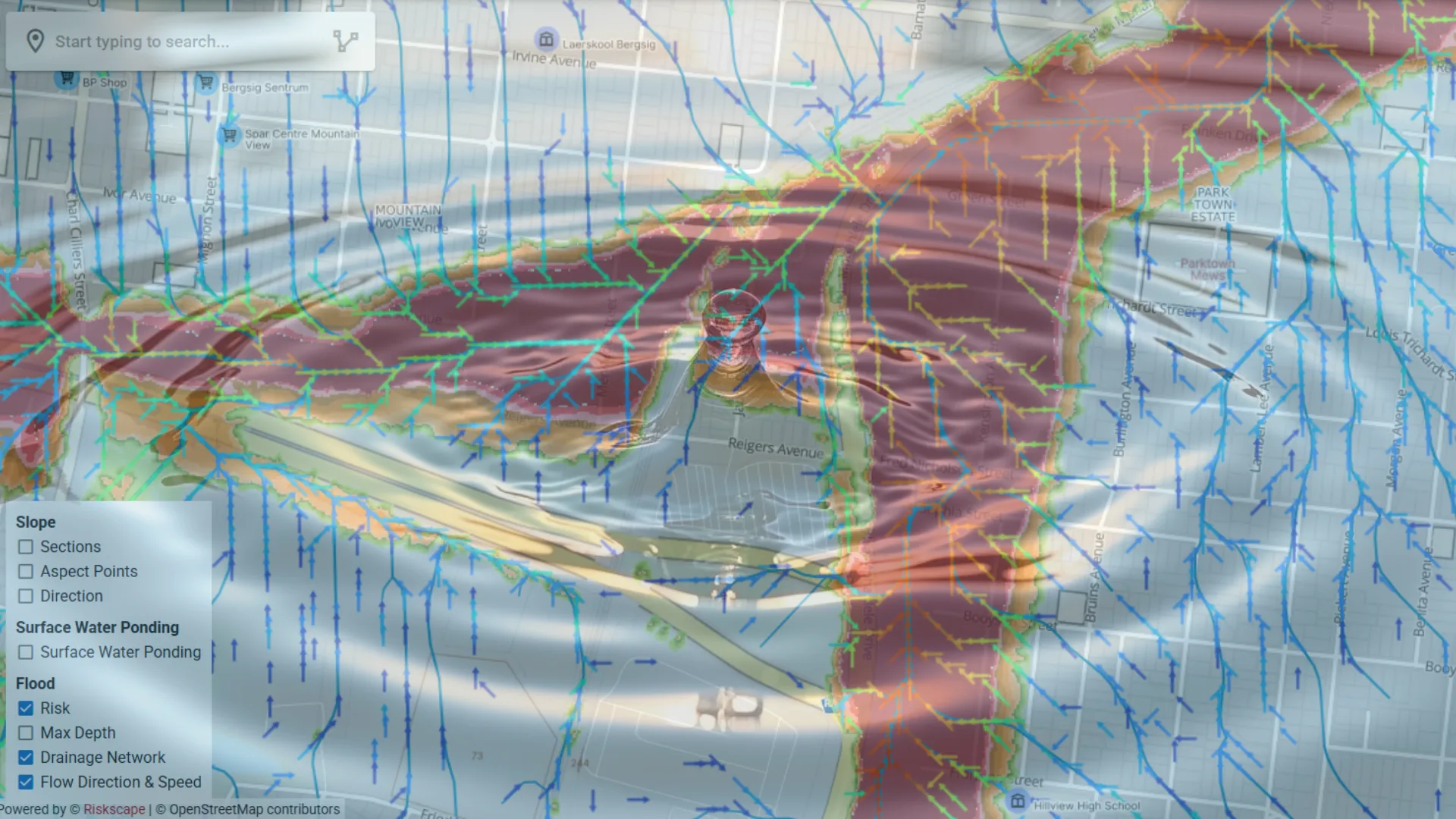
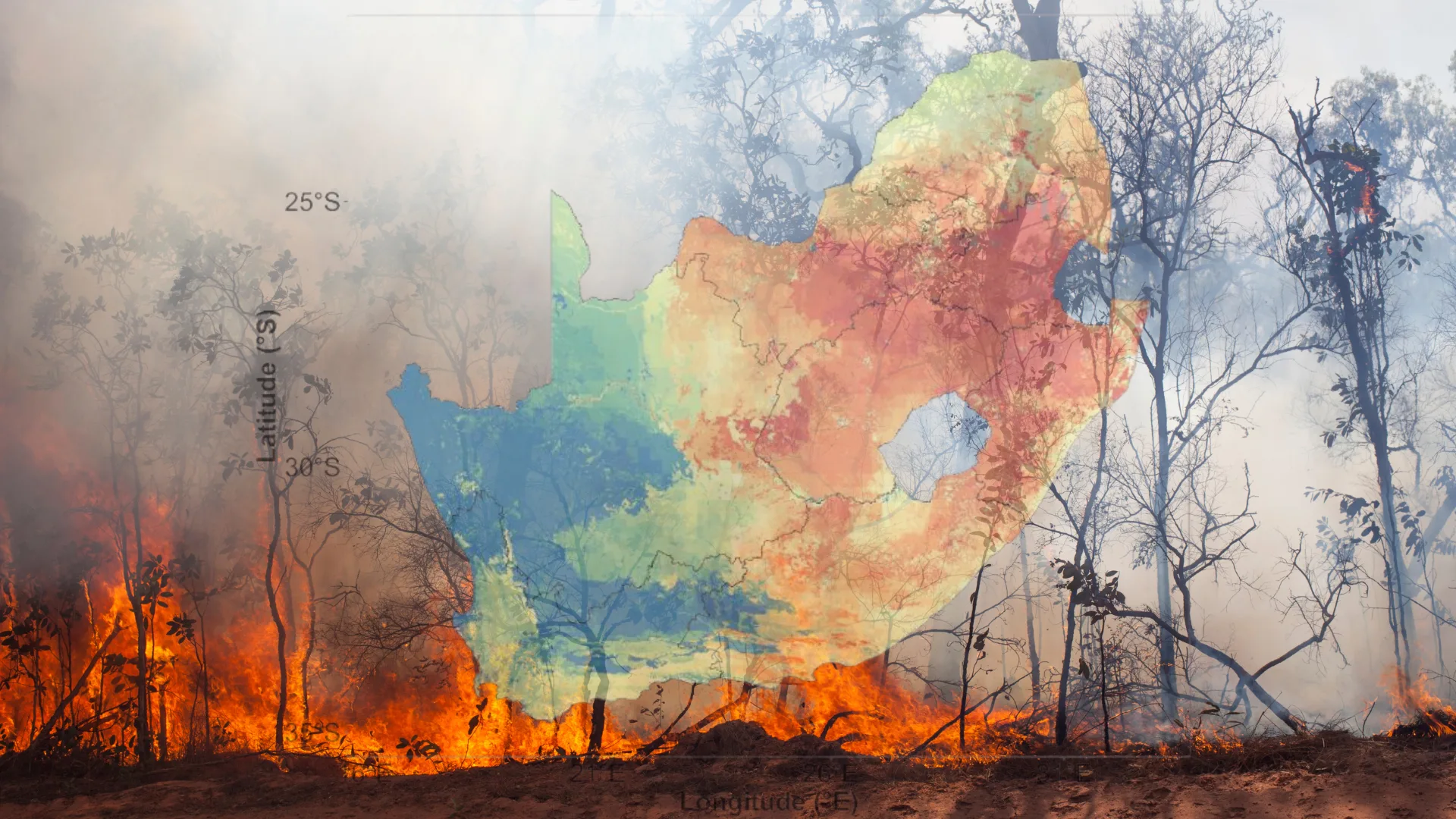
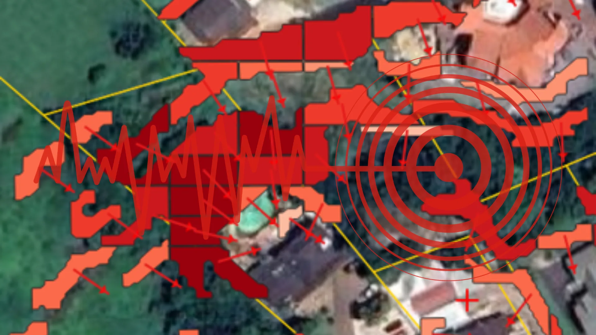
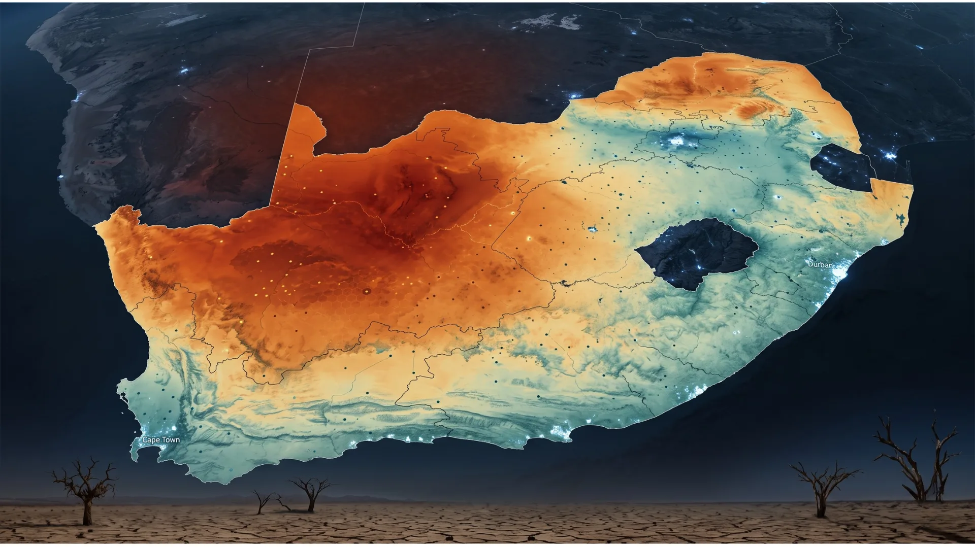
Four specialised sub-products delivering flood, fire, land and temperature risk intelligence at property level - built for insurers, banks, engineers and disaster management professionals.
Water RiskFire RiskGeotechnical RiskExtreme Temperatures
Product Suite
Four Climate Risk Products
Each hazard is modelled separately, at property level, and delivered through the same data framework.
Why Riskscape
Built for South Africa's Risk Landscape
South Africa faces a unique combination of hazards - coastal and flash flooding, wildfire, seismic activity and extreme heat. Global models downscaled after the fact miss it; ours start here.
Local data, local resolution
Built on South African terrain, rainfall, satellite and cadastral data at property-level resolution - 2m terrain models, 2km fire grids, subplace temperature records.
Validated against real events
Models are calibrated for South African conditions and checked against historical floods, fires and seismic events before they reach a client.
Made for decisions
Insurers, lenders and government agencies get property-level outputs they can underwrite, lend and plan against - backed by science, delivered as data.
Assess climate exposure at property level
Talk to our team about integrating Riskscape climate risk data into your underwriting, lending or planning workflows.