Climate Risk›Geotechnical Risk
Landslide &
Seismic Risk
Micro-landslide slope analysis and probabilistic seismic hazard assessment - delivering ground instability risk intelligence for engineers, planners, insurers and disaster management professionals.
Micro-LandslidePSHAPeak Ground AccelerationReturn PeriodsHazard Curves
Capabilities
Landslide & Seismic Hazard
Two ground-instability products at property level - slope failure from 2m terrain models, and seismic hazard from a full probabilistic analysis of South Africa.
Landslide Risk
Micro-Landslide Assessment
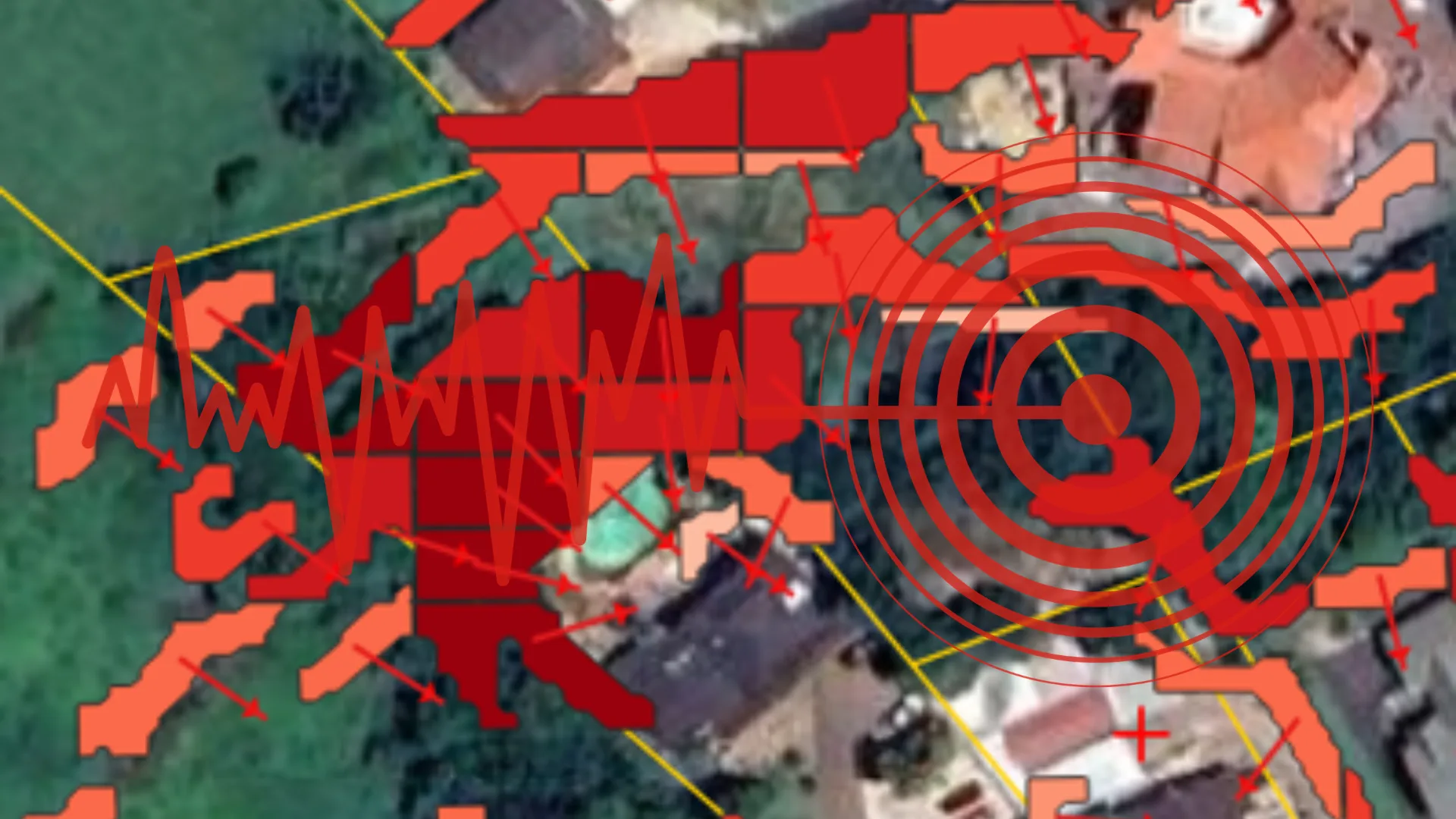
Slope instability assessment at property level using high-resolution terrain analysis. Slope sections are derived from 2m DTMs, aspect points are calculated to identify failure-prone orientations, and directional predictions provide before-and-after property comparisons.
- Slope section analysis from 2m DTM
- Aspect point mapping
- Directional slope predictions
- Before/after property comparisons
- Susceptibility zone classification
- Integration with flood risk layers
Earthquake Risk
Probabilistic Seismic Hazard Analysis
Full PSHA implementation for South Africa quantifies seismic hazard at any location. Peak Ground Acceleration values at standard engineering return periods enable building design compliance and property-level risk assessment, with interactive hazard curves disaggregating the contributing seismic sources.
- Peak Ground Acceleration (PGA) at any location
- 50, 100, 475 and 2475-year return periods
- Interactive hazard curves per site
- Seismic source disaggregation
- Building design compliance inputs
- National coverage across South Africa
Who It's For
Who Uses Geotechnical Risk Data?
Ground instability data for the professionals who design, plan, underwrite and respond.
Structural Engineers
Seismic design parameters and slope stability inputs for building design, compliance and risk assessment.
Town Planners
Landslide susceptibility and seismic hazard mapping for development constraint analysis and land use plans.
Insurers
Earthquake and landslide risk scoring for property underwriting, especially in geologically complex regions.
Disaster Management
Hazard mapping for emergency planning, evacuation route design and community risk communication.
See it in Action
Micro Landslide Risk Assessment - Live Demo
Scroll to play
Understand ground instability risk
Contact our team to access landslide susceptibility and seismic hazard data for your region or portfolio.