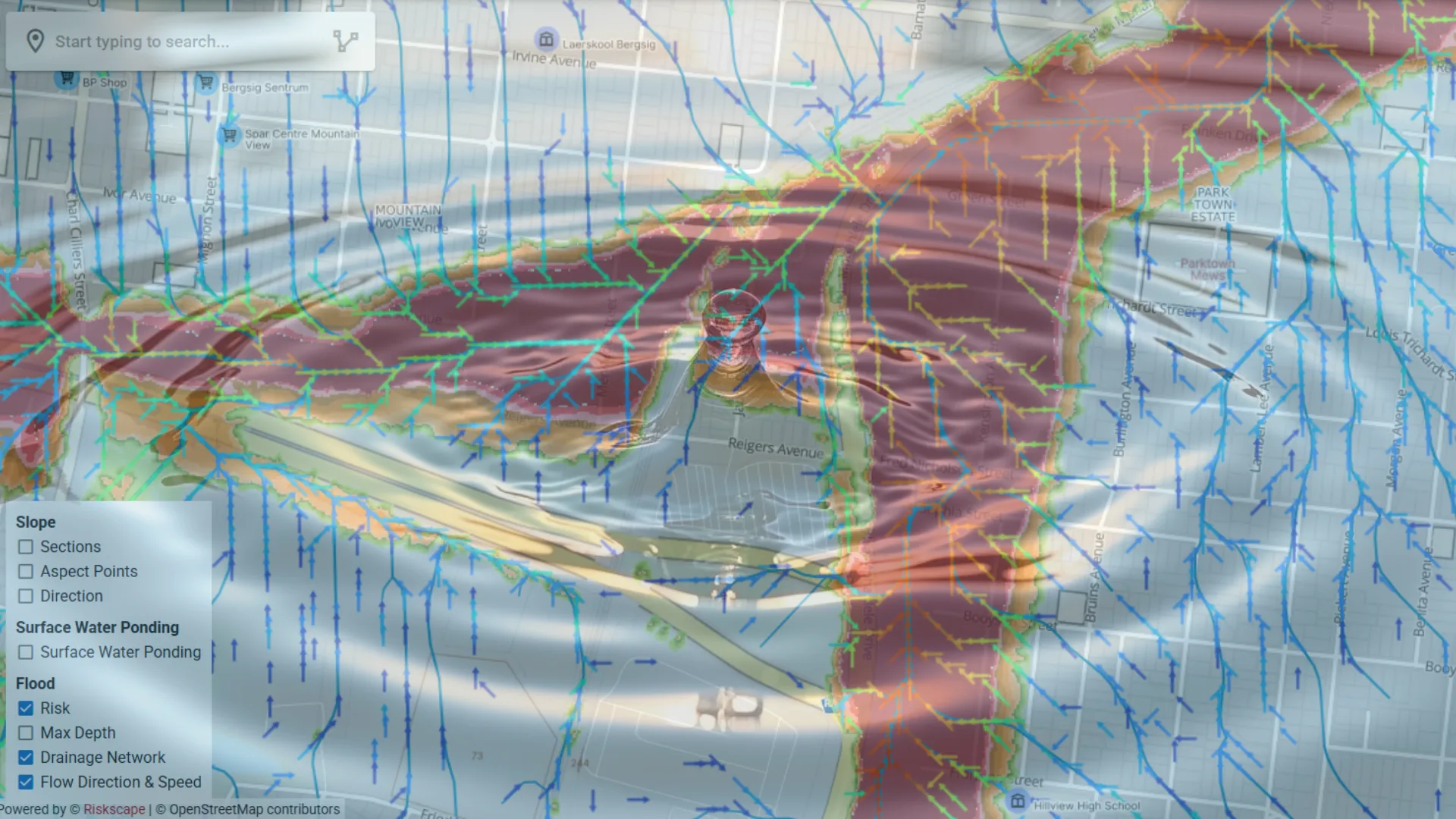
Property-Level
Water & Flood Risk
Combining 2m Digital Terrain Models with 1-in-100-year rainfall simulations to deliver flood risk intelligence at individual property level - for insurers, lenders and government agencies.
Water Risk Capabilities
Five integrated components delivering comprehensive water and flood risk intelligence at property resolution.
Flood Risk Mapping
- Flow Direction layers
- Drainage Network mapping
- Maximum Depth rasters
- Flood Risk zone classification
Water Surge Modelling
- Dam discharge scenarios
- Downstream impact corridors
- Asset exposure assessment
- Risk zone delineation
Rainfall Analysis
- Extreme Value Theory (EVT)
- 4–11km daily historical data
- Return period calculations
- 1-in-10 to 1-in-200 year events
Future Climate Projections
- CMIP6 downscaled to 25km
- SSP5-8.5 and custom pathways
- Mid-century and end-century horizons
- Uncertainty quantification
Micro-Landslide Assessment
- Slope section analysis
- Aspect point mapping
- Directional predictions
- Before/after property comparisons
Science-Backed Methodology
Three inputs, each at the finest resolution available for South Africa, make the return period estimates defensible for insurance pricing and lending decisions.
High-resolution terrain
Extreme Value Theory
Downscaled climate projections
Who Uses Water Risk Data?
Property-level flood intelligence for the organisations that price, lend against, plan for and build around water risk.
Insurers
Banks & Lenders
Government
Engineers & Planners
Water Risk in Practice
Scroll to play
Advanced Flood Modelling
Scroll to play
Vaal Dam Water Surge Scenario
Scroll to play
Extreme Rainfall & Forward-Looking Climate Scenarios
Integrate water risk into your workflows
API access and bulk data delivery available. Talk to our team about your specific use case.